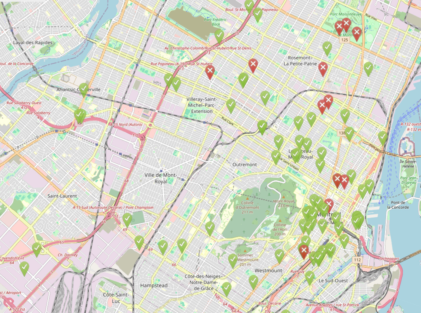
It's very simple in comparison, but for some that's a feature. If it could show bike lanes on roads then it would be all I need in 95% of cases, but since it can't I find myself using OSMAnd with the CyclOSM tile layer a lot.
StreetComplete is by far the most accessible way to get into OSM, in my opinion. It's like a gateway drug, because eventually you find something missing that you can't add with StreetComplete and then you begrudgingly open iD on your computer, find out how easy it is, and the rest is history.
There's a whole section on the Canadian page in the OSM wiki for how to map Tim Horton's depending on if they're inside of other places or not, haha.
I'm dealing with some weird ones, like laundromat cafés and stationery shop cafés. But at least it looks like I can add an amenity
tag to most of these. It's just the bar/café that I'm really struggling with.
Ah, I didn't see the further examples! This is definitely the right choice. Thank you!
I did a write-up on how I have been mapping sidewalks to help out someone locally who was just starting out, and some asshole decided to come berate us for mapping sidewalks as separate ways (as was already the standard in our area) and for following the OpenSidewalks schema. They wouldn't stop even after being asked multiple times.
I do hope they add moderators like the document mentions. I've had a bad interaction already that made me consider quitting contributing, and it seems like there's no accountability for people who bully others as things currently stand.
I use OSMAnd~ for navigation, and the "expert" version of StreetComplete for surveying.
That doesn't sound too old to me! The satellite images in my area are from 2020. There have been some infrastructure changes since then, but in general construction takes a while so a few months shouldn't change much. If you're working in an area you know, as another commenter mentioned, you'll be fine working from this imagery.
Also, unless you know there is new imagery coming, I don't see any point in waiting because for all you know none will come for a year or more!
There's a very helpful tutorial if you want to get into adding buildings and roads, but otherwise you can just click on the building and change its type without much hassle. :)
I've found there are wayyyy more options through the OSM website editor than through Street Complete. When I encounter stuff like this while out walking, I'll usually add a note for that location and then add the data when I get back to my computer. You can add a note by tapping and holding a spot on the map, then choosing "Create new note"
Looks like there's a perfect option for it on the iD editor!
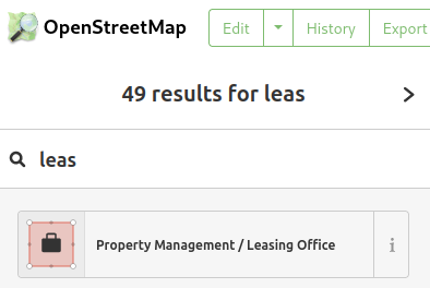
I wish Notes Review let you filter out a user. One person makes a lot of notes in my area, and many of them are ones that are low-priority to add. It would be nice to be able to see everything else. I know I can do this on StreetComplete, but it would be helpful to be able to do it on desktop as well.