19
submitted 6 months ago* (last edited 6 months ago) by Doudouosm@en.osm.town to c/openstreetmap@lemmy.ml

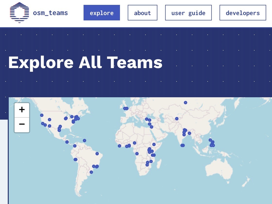
OSM Teams is a tool for creating teams and roles in the #OpenStreetMap ecosystem for management of groups and communities to organize around existing tools like Tasking Manager, OSMCha, or iD, and improves collaboration.

- Found or find a team: https://mapping.team/teams

- Video demo: https://www.youtube.com/watch?v=GSa4IWxZz4g

cc: @openstreetmap #OSMTeams

51
submitted 6 months ago* (last edited 6 months ago) by Doudouosm@en.osm.town to c/openstreetmap@lemmy.ml

Not clear yet what the concrete benefits are, but it’s worth noting #OpenStreetMap has been registered as a “Digital Public Good” by the Digital Public Goods Alliance (#DPGA), which is a multi-stakeholder United Nations-endorsed initiative.
https://blog.openstreetmap.org/2024/02/05/osm-named-as-a-digital-public-good-by-un-affiliated-agency/

#UN #UnitedNations cc: @openstreetmap

14
submitted 8 months ago* (last edited 8 months ago) by Doudouosm@en.osm.town to c/openstreetmap@lemmy.ml

Learn Overpass through fun interactive exercises

From beginner to established developer, learn how to utilize the Overpass API and query language

https://osmlab.github.io/learnoverpass//en/

#OpenStreetMap #OverpassTurbo #LearnOverpass @openstreetmap

Via: https://weeklyosm.eu/archives/16926

46
submitted 8 months ago* (last edited 8 months ago) by Doudouosm@en.osm.town to c/openstreetmap@lemmy.ml

Some work for the OpenStreetMap community in 2024… 😀🚰

“Free drinking water soon available in Belgium's 100 largest train stations”: https://www.brusselstimes.com/belgium/810782/free-drinking-water-soon-available-in-belgiums-100-largest-train-stations-tbtb

So, how would you tag this ?

amenity=drinking_water
fountain=bottle_refill
access=yes
wheelchair=yes
fee=no
operator=NMBS/SNCB

#OpenStreetMap #Belgium #water #SNCB #NMBS

cc: @openstreetmap

[-] Doudouosm@en.osm.town 3 points 10 months ago

@bbbhltz Are you maybe referring to this blog post about capturing all the streets of Brussels in 360° pictures?

https://openstreetmap.be/en/2023/07/23/stéphane-streetview-brussels.html

@Showroom7561

[-] Doudouosm@en.osm.town 5 points 10 months ago

@Showroom7561 You could add the emerging #GeoVisio / #Panoramax to the alternatives to Mapillary, KartaView, and Mapillio: https://wiki.openstreetmap.org/wiki/GeoVisio.

8

OpenStreetMap Belgium announces European camera grant project.

No less than 20 GoPro Max cameras available for qualifying contributors to contribute 360° street-level pictures.

To read conditions and apply: https://openstreetmap.be/en/2023/10/07/european-camera-grant.html

Cc: @openstreetmap #GoPro #Mapillary #KartaView #Panoramax #OpenStreetMap

17

Plan a running route with these 5 free run planner websites

https://www.ilovefreesoftware.com/06/featured/plan-a-running-route-free-run-planner-websites.html.

Unsurprisingly, 3 are using OpenStreetMap data.

This also means you can correct and add paths yourself if you ever notice some are wrong or missing.

#OpenStreetMap #running #planner cc: @openstreetmap

73

OpenStreetMap Foundation launched consultations on their strategic plan v2.

You can provide your ideas and inputs via the community forum or on the mailing list.

https://blog.openstreetmap.org/2023/08/18/for-community-consultation-osmf-strategic-plan-v-2/

#OpenStreetMap #OSMF cc: @openstreetmap

14
[-] Doudouosm@en.osm.town 1 points 1 year ago

@Mannivu @Cris_Color Indeed. I didn’t expect that… Sorry for the mess.

8

#OpenStreetMap Belgium’s Mapper of the Month #MotM is @joost_schouppe.

If the name sounds familiar to you, it might be for many reasons. It could be for his past involvement as OpenStreetMap Foundation #OSMF board member, for leading the Belgian community chapter, or being a very active mapper.

Read the interview at https://openstreetmap.be/en/motm/2023/08/01/joost-schouppe.html.

cc: @openstreetmap

9

Interesting paper from #MDPI about “Mapping with #ChatGPT” concludes it delivers unique advantages, such as:
- lowering the barrier to producing maps
- boosting the efficiency of massive map production
- and understanding geographical space with its spatial thinking capability.

Limitations cited are:
- its unequal benefits for different users (need to have some expertise already)
- and necessary user intervention for quality control.

https://www.mdpi.com/2220-9964/12/7/284

cc: @openstreetmap

[-] Doudouosm@en.osm.town 1 points 1 year ago

@CjkOvPDwQW In short, it’s not correct, because the node is not associated to the way that is controlled. See “How to map on the wiki”: https://wiki.openstreetmap.org/wiki/Tag:highway=speed%20camera?uselang=en. The simple method is a node part of the way (to represent the existence of a control at that place). The more advanced is an isolated node (for the physical location of the camera) but make it part of a three-node relation to represent the direction of the control and link it to the way.

8

A nice comprehensive post explaining why State of the Map Conferences #SotM are so important to #OpenStreetMap: https://blog.openstreetmap.org/2023/07/07/why-state-of-the-map-conferences-are-so-important-to-osm/

Already attended one?

Cc: @openstreetmap

7

For this #OpenStreetMap Belgium’s Mapper of the Month #MotM entry, the spotlight is on Michel Hebert from #Grenoble, France: https://openstreetmap.be/en/motm/2023/07/01/michel-hebert.html. He will probably be known by the people following @OsmGrenoble.

Cc: @openstreetmap

view more: next ›

Doudouosm

joined 5 years ago