Organic Maps (Unofficial)

825 readers
16 users here now

Overview:

Organic Maps is a free open-source Android & iOS offline maps app for travelers, tourists, hikers, and cyclists based on top of crowd-sourced OpenStreetMap data and curated with love by MapsWithMe (Maps.Me) founders back from 2021.

Download Organic Maps from:

Related:

Website

Source Code

Matrix Space

Telegram Channel

JOSM

!osm@feddit.uk

founded 3 years ago
MODERATORS
1


From the Openletter Matrix room:

Hi all! Thanks for your support. We're beginning to spin up website, CDN, and map generation resources. If you or someone you know would like to donate or has affordable bandwidth or compute, please let us know! Currently map generation takes about 6 days on a 16-core 96gb ram 4tb HDD machine, which would be about $89 per run on AWS. We'll be looking at efficiency improvements as well.

Edit: context: https://sopuli.xyz/post/26045384

2


We welcome and appreciate the conflict mediation effort by the NLnet foundation (who have also provided grants to Organic Maps before).

================================================

There is no answer to the Letter by Alexander Borsuk @biodranik.

================================================

Roman Tsisyk @rtsisyk has published his answer in team Zulip chat, please read a copy #10555 (comment). He proposes to bring Organic Maps under an established non-profit umbrella organization like the Software Freedom Conservancy or Software in the Public Interest. We welcome this move as we made the same suggestion in the Letter, and we've been considering non-profit umbrellas as a "home" for a potential community fork. So we will gladly join a working group Roman has suggested to form as a first step.

================================================

Viktor Govako @vng has posted his answer in the Organic Maps Telegram chat (https://t.me/organicmaps/52328):

  • Roman took away my access to all key resources of Organic Maps without my consent and refused to return it back. Github blocking in March was also a result of his actions.
  • I decided that I will no longer work with Roman in any format.
  • Roman offered to buy out his share in Organic Maps OÜ so that he could leave the OM project.
  • The offer to buy out the shares was sent to Roman's lawyer three weeks ago. I have not received any clear response or counter-offer yet.
  • I had a conversation with NLNet where they offered to help in this situation. I will not refuse the idea of non-profit or some hybrid if it helps to conclude a “divorce” deal with Roman.

In addition Viktor has made some statements in the Russian-speaking OM Telegram chat, some of which we find significant (from https://t.me/OrganicMapsRu/78976 and onwards):
"Organic Maps now is a commercial company with an open source project" and its been like that since the company's inception and from Viktor's point of view the single mention of the Organic Maps OÜ name in the organicmaps.app website footer is enough information to convey the commercial nature of the project to the contributors.

Also Viktor has disclosed some more details about donations spending over past years (https://t.me/OrganicMapsRu/78745) and now there is an agreement both from Viktor and Roman to disclose full historic financial details to a few select community contributors. We welcome this first step towards financial transparency!

Unfortunately, Viktor's answer concerns itself with the state of his conflict with Roman but it doesn't really acknowledge or address concerns and questions raised in the Letter.

================================================

We hope that Viktor accepts a proposition to change Organic Maps to a non-profit organization and that words will turn into real actions without undue delay.

In the meantime we will continue community fork preparations, as our community deserves an actively-developed app not stalled by disagreements and uncertain negotiations. Even if/when the fork is launched it won't close the door for negotiations and cooperation, e.g. we may decide to rejoin Organic Maps if it implements compatible principles and policies eventually. Alternatively, we would be happy to accept transfers of Organic Maps assets/branding rights to the community fork.

We'll post an update on the state and details of the fork shortly as well as any new developments in negotiations.

P.S. there is a fake signatures attack on the Letter. More than 14,000 fake signatures were added in a very short time by an unknown party, all of them unverified and hence not listed. We also unfortunately have no way to edit or remove spammy/abusive signatures. As of this update there were 179 verified signatures (thank you!).

3


So you can download maps for offline use, nice. Can I download the files and share them with other devices, which are offline? Or share the map files via usb?

4
5
6


I normally use the version (pictured to the right) from the F-Droid repo. I was curious about what features the version (pictured to the left) from the IzzyOnDroid repo had since it supposedly has non-free components and promotes non-free network services. After testing it and comparing it for a few minutes I can't really find any differences. The package names and file sizes are different though. Does anybody else know?

7


I noticed that on OSMand there's an option which lets you use online navigation, which lets you avoid using up storage space, I think this is particularly useful on a 1-time journey, either long-distance or in an area you won't visit again. You'd also be able to get real-time travel info like public transport times and the quickest routes, granted not as good as google's harvested data, but still something that could be useful.

8
9
114
submitted 1 month ago* (last edited 1 month ago) by neme@lemm.ee to c/organicmaps@sopuli.xyz
10
22
submitted 1 month ago* (last edited 1 month ago) by ptz@dubvee.org to c/organicmaps@sopuli.xyz


Cross-posted from "What happened to Organic Maps?" by @fmstrat@lemmy.nowsci.com in !foss@beehaw.org


Edit: Solved. Missed Sunshine's post yesterday about it: https://lemmy.ca/post/40704347

The GitHub repos at https://github.com/organicmaps are all public archives now, but there's no information on them about why.

11
12
13


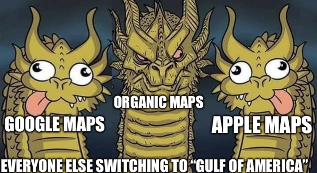
It still shows up as Gulf of Mexico on Organic Maps. At least with Openstreetmaps the community can debate the topic while not having to deal with corporate higher-ups who force through the change anyways despite feedback.

14
15
 
 
16


How often does Organic Maps pull map updates from OpenStreetMap? Can I manually trigger the update or do I have to wait? Does the update happen automatically or do I have to delete the current map data I have and then redownload it?

17
18


I've been messing around with Magic Earth and Organic Maps recently.

I immediately noticed that when I type a home address in Magic Earth, the app can take me to the exact house on the block.

However, when I type the same home address in Organic Maps, the app can only take me to the street where the house is. It can find the exact house.

Why is this the case? I thought both Magic Earth and Organic Maps used the same map data behind the scenes...

19


Dark theme is almost impossible to see. Dark blue on dark gray and black is a mess, at least in my phone.

20
 
 
21
22


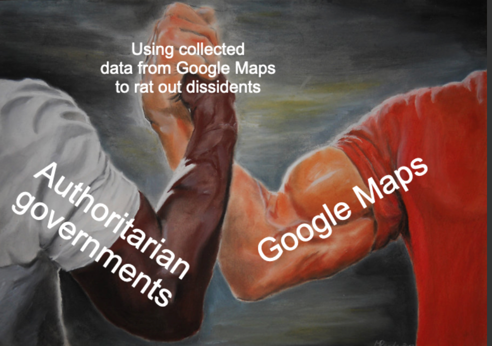
Google Maps and Apple Maps have capitulated to the orange buffoon.

23
24
17
submitted 3 months ago* (last edited 3 months ago) by Sunshine@lemmy.ca to c/organicmaps@sopuli.xyz


From patchnotes:

• New OpenStreetMap data as of January 21

• Tap tracks to display statistics and an interactive elevation profile

• A standalone Track Recording button

• Track Recording Live Activity Widget with track statistics (iOS16.2 and later)

• Added Serbian (Cyrillic) and Latvian languages

• Added tower POls

• Added specific icons for Hong Kong, Shenzhen metro and Berlin light rail, a separate monorail icon

• Added a context menu to the coordinates button in POl details

• Show a reminder popup every time a full screen mode is entered

• Display an explanation when the OSM Editor category search returns nothing

• Differentiate between grass and grassland/ meadow colors

• Less saturated/prominent residential gardens color

• Fixed yellow road shields displayed as green in the night mode

• Display vegetation fills earlier in the car navigation style

• Display complex non-number levels for building POIs

• Improve search for peaks and saddles/passes

• EN as additional search language in the OSM Editor

• Update Estonian, Finnish, German, Italian, Turkish translations

• ...many more bug fixes and Ul improvements

25
view more: next ›