Switzerland be like:

For the map enthused!
Rules:
post relevant content: interesting, informative, and/or pretty maps
be nice
Switzerland be like:
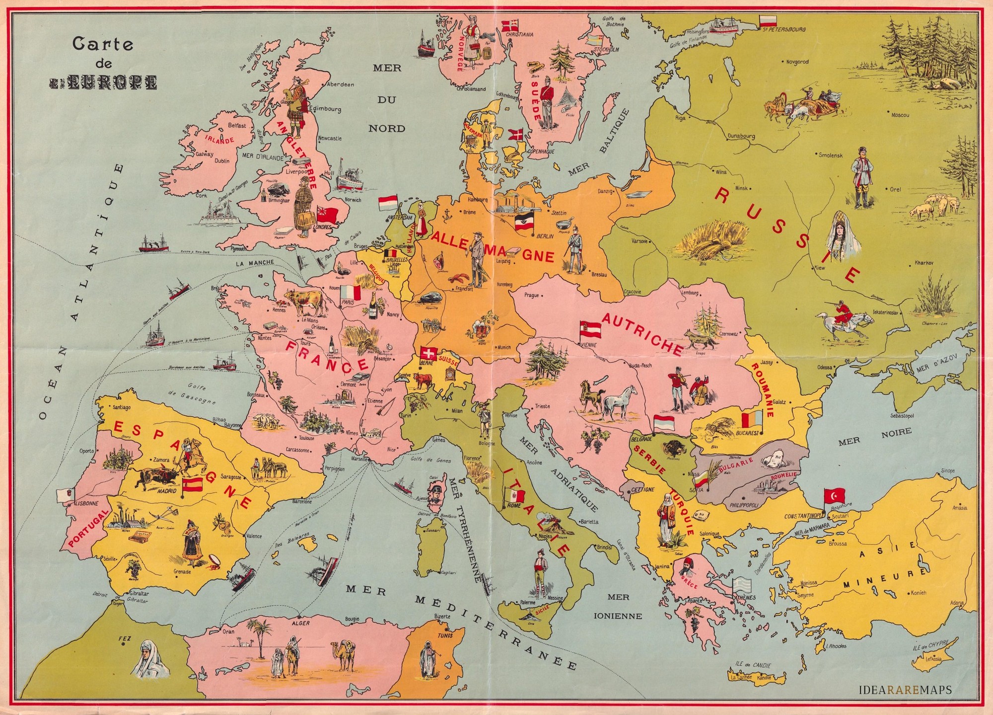
I was bummed that they gave Bulgaria a fifth color, when they were clearly aware that you only need four colors, but then I saw that it's not a contiguous landmass, so I guess, that's a valid way of grouping those two...
I love how Corsica has a picture of Napoleon.
Those older maps with overlay drawings were so cool
It's should be from 1878-1885, as it shows Eastern Rumelia as a somewhat separate state. It was an autonomous province of Bulgaria for that 8 years; https://en.wikipedia.org/wiki/Eastern_Rumelia
I couldn't find anything to narrow it even more.
But it has some errors, e.g. Austria wa called Austria-Hungary at that time
Colloquially 'Austria' (or equivalents) was still widely used, just as the Ottoman Empire is referred to Turkiye here.
I never understood if it was Prussia or already Germany before WW1
Prussian Kingdom was technically one state in the German Empire. But since the Prussian king was the emperor, distinction between them was somewhat artificial.
Pre-Balkan wars even.